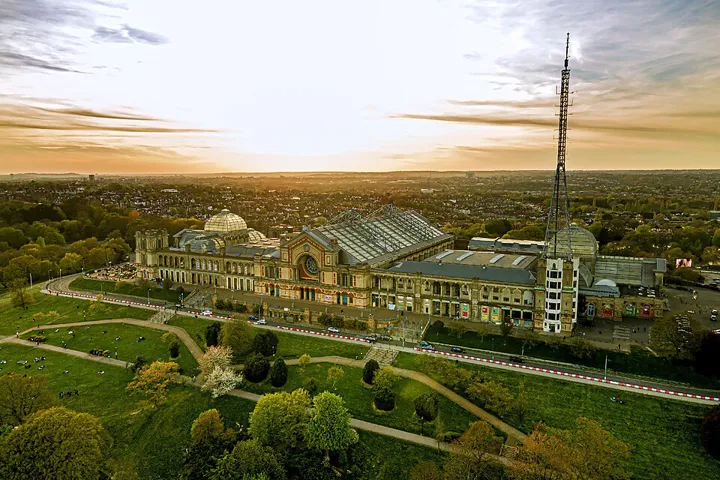
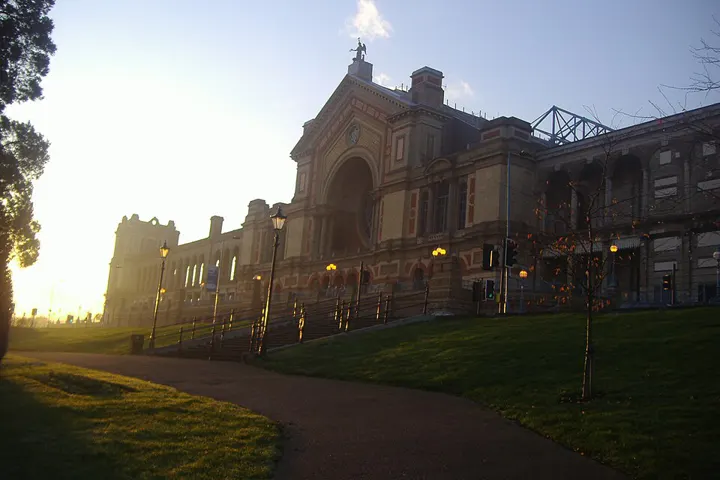
In the palace on the hill, known to Londoners as ‘Ally Pally’, the BBC broadcast its first regular television service in the 1930s, and the transmitter mast still stands. Today it hosts concerts, an ice rink and major events. The terrace on the slope is wide and usually quiet, with views across north London to the towers in the centre. It’s worth waiting for sunset, and afterwards a drink in the beer garden makes a good end.





Background
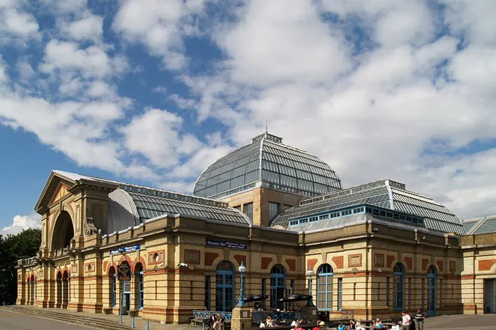
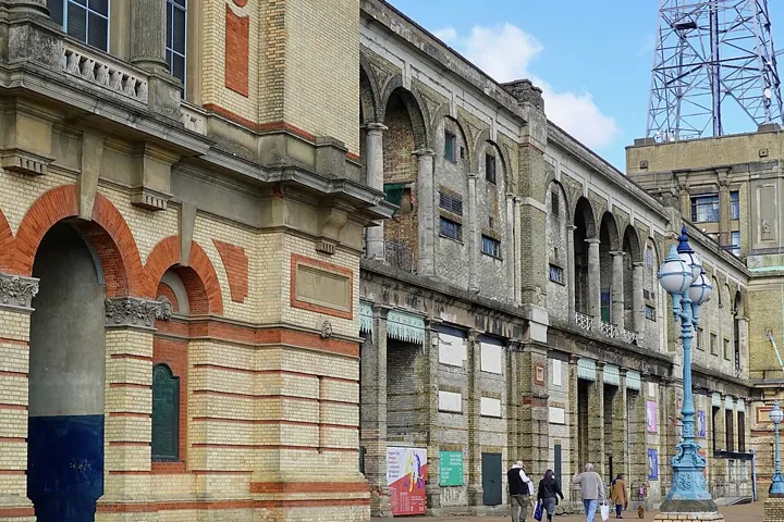
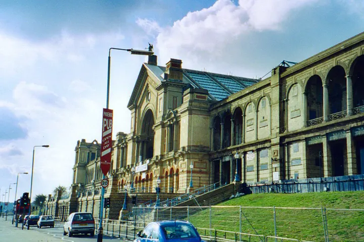
Alexandra Palace is an entertainment and sports venue in north London, situated between Wood Green and Muswell Hill in the London Borough of Haringey. A Grade II listed building, it is built on the site of Tottenham Wood and the later Tottenham Wood Farm. It was designed by John Johnson and Alfred Meeson. It opened in 1873 but following a fire two weeks after its opening, was rebuilt by Johnson. It was intended as "the People's Palace" and it is often referred to by the nickname "Ally Pally". At first a private venture, in 1900 the owners planned to sell it and Alexandra Park for development. A group of neighbouring local authorities managed to acquire it. An Act of Parliament created the Alexandra Palace and Park Trust. The Act required the trustees to maintain the building and the park, and make them available for the free use and recreation of the public forever.
Links marked * are partner links: if you book there we earn a commission, your price stays the same.
All of it in the app, as a plan from your arrival
Traceflap turns arrival, departure, opening hours and weather into a day plan and accompanies the whole trip live.
Traceflap for iPhoneSources: Selection and texts: Traceflap. Hours and prices from the official websites, as of 21 Oct 2026. Coordinates: Wikidata (CC0), some venues © OpenStreetMap contributors (ODbL). No guarantee, please check before visiting. Map: OpenFreeMap, © OpenMapTiles, data © OpenStreetMap contributors. Photos: Wikimedia Commons, author and licence with each picture.