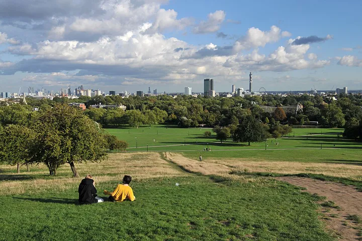
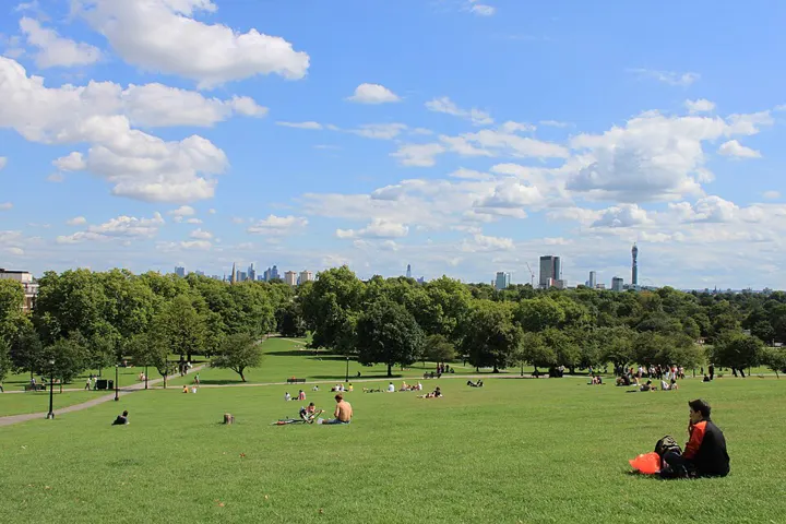
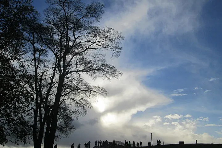
The hill is one of London’s protected viewpoints: nothing may be built on the sightline to St Paul’s. At the summit a panel identifies the towers in front of you, and a quotation from William Blake is carved into the stone. Around the hill stand the pastel-coloured houses of Primrose Hill, for example on Chalcot Square. On warm evenings the summit gets busy; the slopes below offer more space.





Background
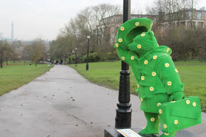
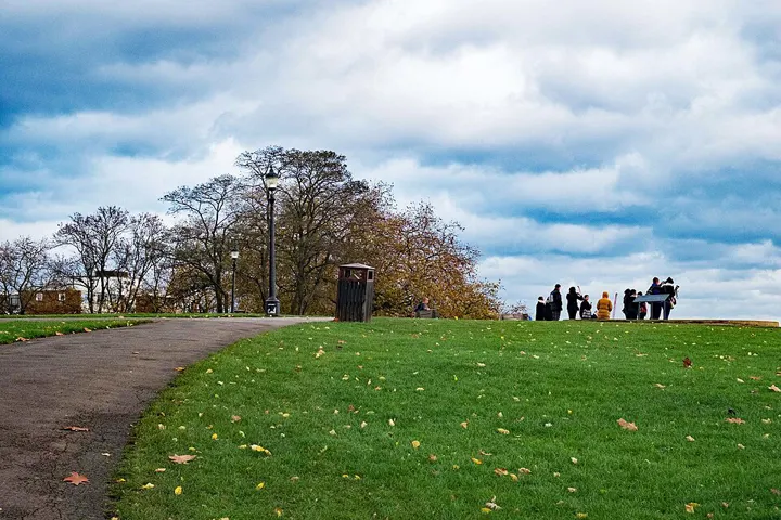
Primrose Hill is a Grade II listed public park first opened to the public in 1842, immediately north of Regent's Park, a Royal Park in London, England. It was named after the 64 metres (210 ft) hill in the centre of the park, one of the highest points in the London Borough of Camden. The hill's summit has a clear view of central London, as well as Hampstead and Belsize Park to the north, and is adorned by an engraved quotation from William Blake. The park's popularity led to the adjoining district and electoral ward being named Primrose Hill. Amenities of the park include an outdoor gym known as the Hill Trim Trail, a children's playground, and toilets, all located on the south side near Primrose Hill bridge which connects to London Zoo and Regent's Park. Primrose Hill park is managed by The Royal Parks.
Walk on from here
Three places nearby, in walking order.
- ·Primrose Hill
- 11 min walk1
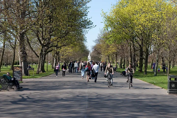 The Regent's ParkWell-kept park with the Queen Mary's Gardens rose garden, a lake and access to Primrose Hill.
- 16 min walk2
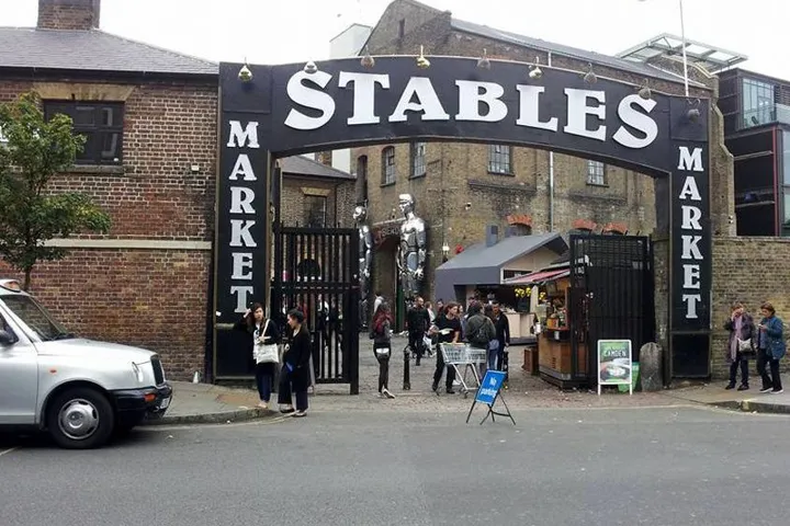 Camden MarketRambling market by the lock with street food, vintage clothes and crafts.
Links marked * are partner links: if you book there we earn a commission, your price stays the same.
All of it in the app, as a plan from your arrival
Traceflap turns arrival, departure, opening hours and weather into a day plan and accompanies the whole trip live.
Traceflap for iPhoneSources: Selection and texts: Traceflap. Hours and prices from the official websites, as of 21 Oct 2026. Coordinates: Wikidata (CC0), some venues © OpenStreetMap contributors (ODbL). No guarantee, please check before visiting. Map: OpenFreeMap, © OpenMapTiles, data © OpenStreetMap contributors. Photos: Wikimedia Commons, author and licence with each picture.